Editor: Porcia Akua Holmes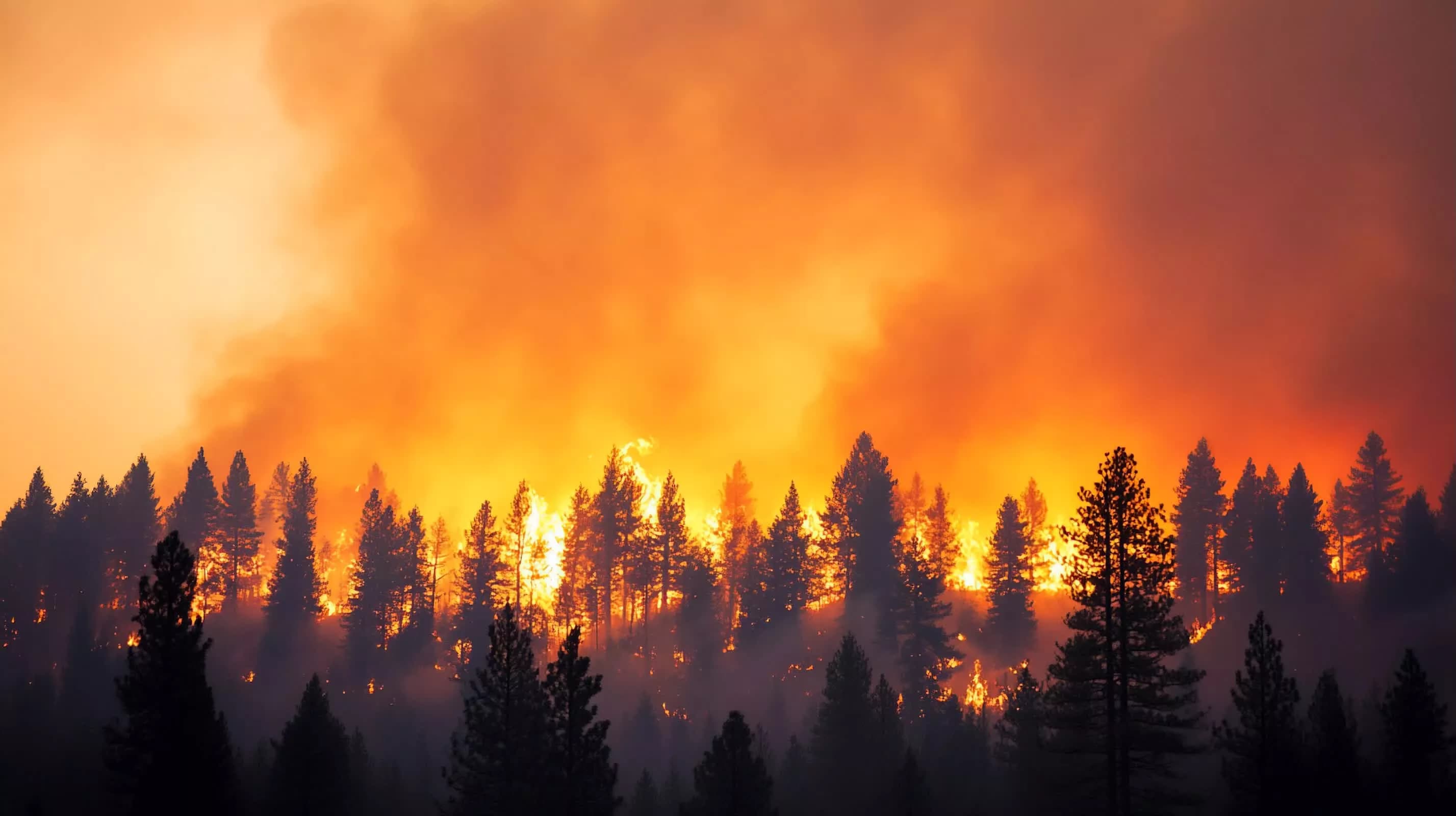
Greece has activated a network of four small thermal satellites that patrol low Earth orbit to identify wildfires before they become visible to ground observers. The system, developed by German company OroraTech in collaboration with the Hellenic Space Centre, continuously scans the same terrain during repeated passes, giving firefighters a critical head start on blazes that might otherwise catch communities off guard.
Satellites Built for Fire Detection
The constellation operates in low Earth orbit, roughly 500 kilometers above the planet. Unlike general Earth observation satellites that image wide areas infrequently, these four spacecraft are optimized for rapid revisit times. Each satellite carries a thermal infrared camera developed by OroraTech that can spot temperature differences of less than one degree Celsius on the ground.
OroraTech and the Hellenic Space Centre designed the network to prioritize coverage over southern Europe and the Mediterranean basin, where fire seasons have lengthened. The system processes thermal data onboard and transmits alerts directly to Greek civil protection authorities.
Why This Matters
Greece’s approach represents a shift from reactive firefighting to predictive monitoring. The country lost more than 700 square kilometers of forest and farmland to wildfires in 2023 alone, events that strained public budgets and endangered lives. By catching fires at the smoldering stage rather than after they crown, authorities can contain blazes with smaller crews and less aircraft time.
The implications extend beyond Greece. Other fire-prone nations are watching the program as a model for integrating space-based sensors into national emergency systems. Climate projections indicate that regions in the Americas, Australia and southern Europe will face more frequent extreme fire weather. Satellite detection networks such as this one may become a standard tool for disaster preparedness rather than a niche experiment.
Critics, however, point to potential limitations. Cloud cover can block thermal sensors, and dense smoke plumes may obscure early heat signatures. OroraTech has said it is working on machine learning algorithms to filter out cloud interference and improve detection in partly cloudy conditions.
What This Means for Emergency Response
The system does not replace ground patrols or aerial reconnaissance. Instead it adds a persistent overhead layer that never tires. Fire crews can receive alerts before anyone calls 911. For Greece, where island terrain and mountainous regions complicate ground access, satellite detection bridges a critical gap.
The Hellenic Space Centre has plans to expand the constellation to eight satellites within two years, which would cut revisit times further and add night vision capability. If successful, the network could serve as a blueprint for other governments looking to harness space technology for climate adaptation.