Editor: Porcia Akua Holmes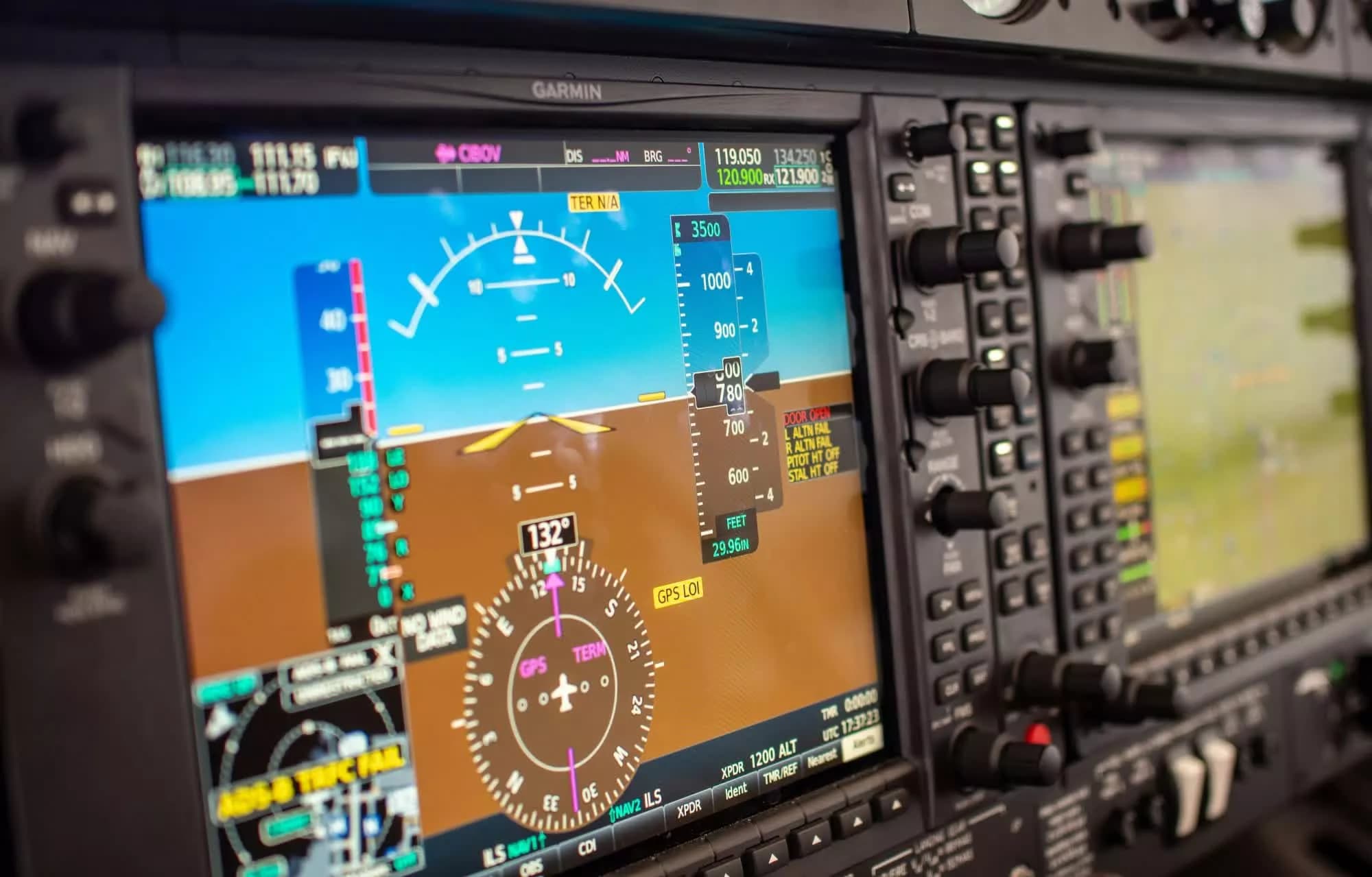
Norwegian authorities recently demonstrated how easily a helicopter can be deceived by falsified GPS signals. As part of the annual Jammertest exercise, researchers spent 40 minutes convincing a helicopter's onboard navigation system that it was flying toward the ocean, triggering a potentially catastrophic scenario. The drill was designed to test how aircraft and ground crews respond when satellite navigation is actively manipulated.
Inside the Jammertest Exercise
Jammertest is an annual Norwegian field exercise focused on the effects of GPS and other satellite navigation disruptions. The event brings together military units, civilian agencies and technology developers to test equipment in a controlled but realistic environment. This year, a helicopter flight was selected for a live spoofing demonstration. Operators on the ground transmitted deceptive signals that gradually altered the aircraft's perceived position. The helicopter's GPS system responded by plotting a false track that indicated a descent into the sea. The crew, however, was aware of the simulation and flew under visual flight rules.
Why This Matters
The exercise underscores a growing vulnerability in modern aviation. Commercial and military aircraft increasingly rely on GPS for navigation, approach procedures and air traffic management. A determined attacker with off-the-shelf radio equipment could potentially spoof signals to steer an aircraft off course. The consequences range from navigational errors to collisions or controlled flight into terrain. This threat is not theoretical: incidents of GPS spoofing near conflict zones and in the maritime domain have risen sharply in recent years. Norway's test provides concrete evidence that even coordinated, multi-crew aircraft can be deceived. It pressures regulators and operators to invest in alternative navigation methods such as inertial navigation, ground-based beacons and signal authentication technologies.
The Growing Threat of GPS Spoofing
Spoofing differs from jamming in that it does not simply block signals but replaces them with false data. This makes detection harder and the potential damage greater. The following risks have been identified in exercises like Jammertest:
Implications for Aviation and Defense
Norway's exercise is part of a broader effort to harden navigation infrastructure. The country's rugged geography and reliance on helicopter transport for offshore oil, search and rescue and military missions make GPS resilience a national priority. Other nations are watching closely. The test validates calls for adopting multi-constellation, multi-frequency receivers that cross-check data from Galileo, GLONASS and BeiDou alongside GPS. It also reinforces the need for mandatory use of backup navigation aids in critical phases of flight. For passengers and operators, the message is clear: the invisible backbone of modern flight is more fragile than many realize, and exercises like Jammertest are essential to protecting it.