Editor: Porcia Akua Holmes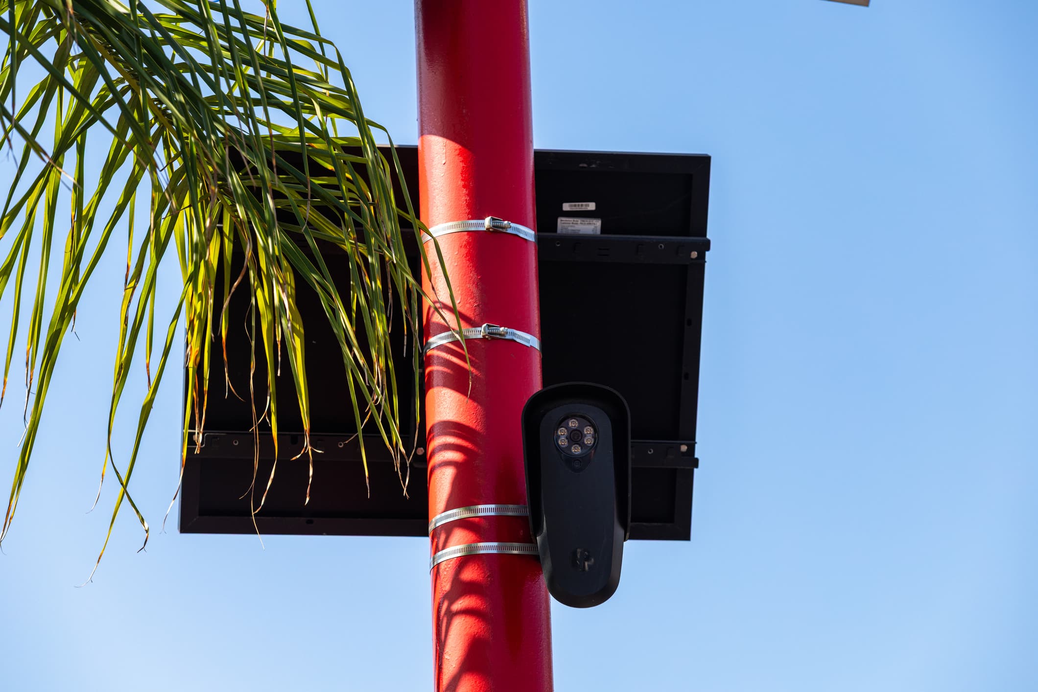
MapQuest has quietly turned its navigation app into a surveillance transparency tool. The company now displays the locations of license plate readers and traffic cameras on its map, letting users see the extent of automated monitoring in their own neighborhoods.
The feature arrives as cities across the United States expand camera networks and as public debate intensifies over how vehicle data gets collected, stored and shared. MapQuest, once a dominant online mapping service, is betting that privacy-conscious drivers will value knowing where they are being watched.
A Navigation App Turns Privacy Dashboard
MapQuest's update places it alongside a small but growing group of services that treat surveillance mapping as a consumer feature. Drivers can now plan routes with an eye toward avoiding camera-heavy corridors, though the app stops short of offering real-time evasion guidance.
The move reflects a broader shift in how mapping platforms compete. Google Maps and Apple Maps have focused on traffic prediction and business listings. MapQuest, by contrast, is leaning into civic transparency as a differentiator.
How the Camera Layer Works
The layer pulls together known locations of fixed license plate readers and traffic cameras. Users see icons on the map that indicate monitoring equipment, often near intersections, highway ramps and municipal boundaries.
Data sources vary by region. Some cities publish camera inventories as part of open data programs. Others do not, leaving gaps in coverage that MapQuest acknowledges but does not fully resolve.
Why This Matters
Drivers in cities with dense camera networks face a new kind of digital exposure. Every trip past a license plate reader adds a timestamped record to databases that may be shared across agencies or retained for years. MapQuest's layer gives those drivers a first rough sketch of where those records begin.
Law enforcement agencies, however, may see the feature as an operational risk. If drivers learn to avoid certain corridors, the deterrent value of cameras could weaken. Police departments that rely on plate readers for stolen vehicle recovery and Amber Alerts may find themselves defending the technology more publicly.
Civil liberties groups have pushed for exactly this kind of visibility. The American Civil Liberties Union and the Electronic Frontier Foundation have long argued that surveillance should not be invisible. MapQuest's move hands them a mainstream tool without requiring legislation.
What You Need to Know About Surveillance Mapping
License plate readers are not new. They have been deployed for decades along toll roads and in parking garages. What has changed is the scale and the ease of cross-referencing. Cloud storage and automated sharing agreements let agencies query millions of plate reads in seconds.
MapQuest's layer does not reveal who operates each camera or how long data is kept. That distinction matters because a camera owned by a private homeowner's association may have different rules than one run by a state police department.
Users should treat the map as a starting point, not a complete inventory. Cameras get added, moved or retired without public notice. The absence of an icon does not guarantee an absence of surveillance.
The Road Ahead for Location Privacy
MapQuest's feature could pressure other mapping services to add similar layers. If drivers respond well, camera transparency may become a standard expectation rather than a niche add-on.
Regulators, meanwhile, are watching. Several states have passed laws requiring audits of license plate reader programs. A consumer map that visualizes those programs could accelerate calls for uniform disclosure rules.
The bigger question is whether awareness alone changes behavior. Drivers who avoid camera corridors may simply shift surveillance to new locations. Cities could respond by adding more cameras elsewhere, creating a cat-and-mouse dynamic that MapQuest's map can only document, not resolve.