Senior Editor: Alan Agbele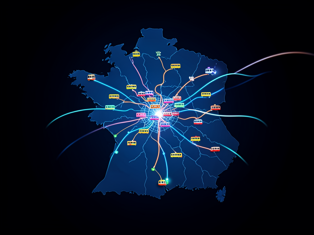
A comprehensive live map now provides real-time tracking of public transport across Belgium, giving commuters up-to-the-minute information on trains, trams and buses. The project, shared on Hacker News, aggregates data from multiple transit agencies into a single interactive interface. It eliminates the need to jump between separate operator apps for daily travel planning.
A Unified View of Belgium’s Transit Network
The live map covers the entire country, pulling data from NMBS/SNCB for national rail, De Lijn for Flemish buses and trams, STIB/MIVB for Brussels, and TEC for Walloon transport. Vehicles are displayed as moving icons on a familiar map interface, with color coding by operator. Users can zoom to any city or follow a specific route in real time.
Why This Matters
For daily commuters in Belgium, the map eliminates the need to check separate apps for each operator, saving time and reducing frustration. The project also puts pressure on transit agencies to maintain high-quality open data, which can benefit third-party developers and researchers. As similar initiatives gain traction across Europe, this live map sets a precedent for how real-time transit data can be presented simply and effectively.
The availability of a single, transparent view of public transport operations could encourage more people to choose trains and buses over cars. It also provides a useful benchmark for other countries considering unified transit dashboards.
Community and Developer Response
The Hacker News community has responded with enthusiasm, with many comments praising the map's simplicity and suggesting additional features such as route planning and delay alerts. The developer has acknowledged the feedback and plans to iterate. The Comments section on Hacker News remains active as users share tips and report edge cases.
Future updates may include historical data replay, integration with bike-sharing systems, and support for multiple languages. The project’s open-source nature means anyone can contribute code or translate the interface.