Editor: Porcia Akua Holmes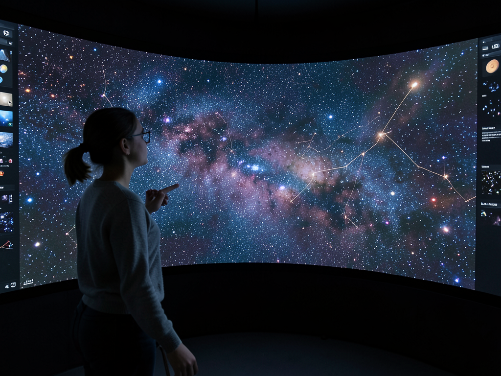
Astronomers have completed the largest map of space ever assembled, a 5.6 trillion-pixel mosaic covering roughly 75 percent of the sky. The dataset catalogs about 4 billion celestial objects, from nearby stars to distant galaxies. Yes, you can play with it. The interactive tool allows anyone with an internet connection to navigate the cosmos.
Behind the 5.6 Trillion Pixels
The project drew on observations from three major telescopes: the Kitt Peak National Observatory in Arizona, the Cerro Tololo Inter-American Observatory in Chile and the NASA Wide-field Infrared Survey Explorer. These instruments captured images across optical and infrared wavelengths, stitching them into a single seamless mosaic. The result is a map that shows faint structures never before visible to the public.
Key features of the dataset include:
How the Public Can Explore
The interactive interface works like a digital telescope. Users can pan across the sky, zoom into dense star fields or search for specific objects by coordinates or name. The tool also provides an overlay of known catalogs, so casual users can identify Messier objects or known exoplanet host stars. Professional astronomers can pull raw data for custom analysis.
This ease of access marks a shift from past practice, when large astronomical surveys were often locked behind institutional logins or required specialized software. Now a student in a classroom can pull up the same deep-field imagery used by researchers at major observatories.
Why This Matters
The completion of this map changes how astronomy can be taught and practiced. For the first time, the general public has direct access to a survey dataset that rivals the scale and quality of professional archives. Citizen scientists can now search for transient phenomena, track asteroid orbits or identify gravitational lens candidates using the same data that fuels published papers. For educators, the map removes a significant barrier: students no longer need expensive equipment to see the universe in rich detail. The project also serves as a foundation for next-generation surveys, including the Vera C. Rubin Observatory's Legacy Survey of Space and Time, which will begin scanning the sky in the next few years. By making this map public now, astronomers have provided both a historical record and a springboard for future discovery.