Senior Editor: Alan Agbele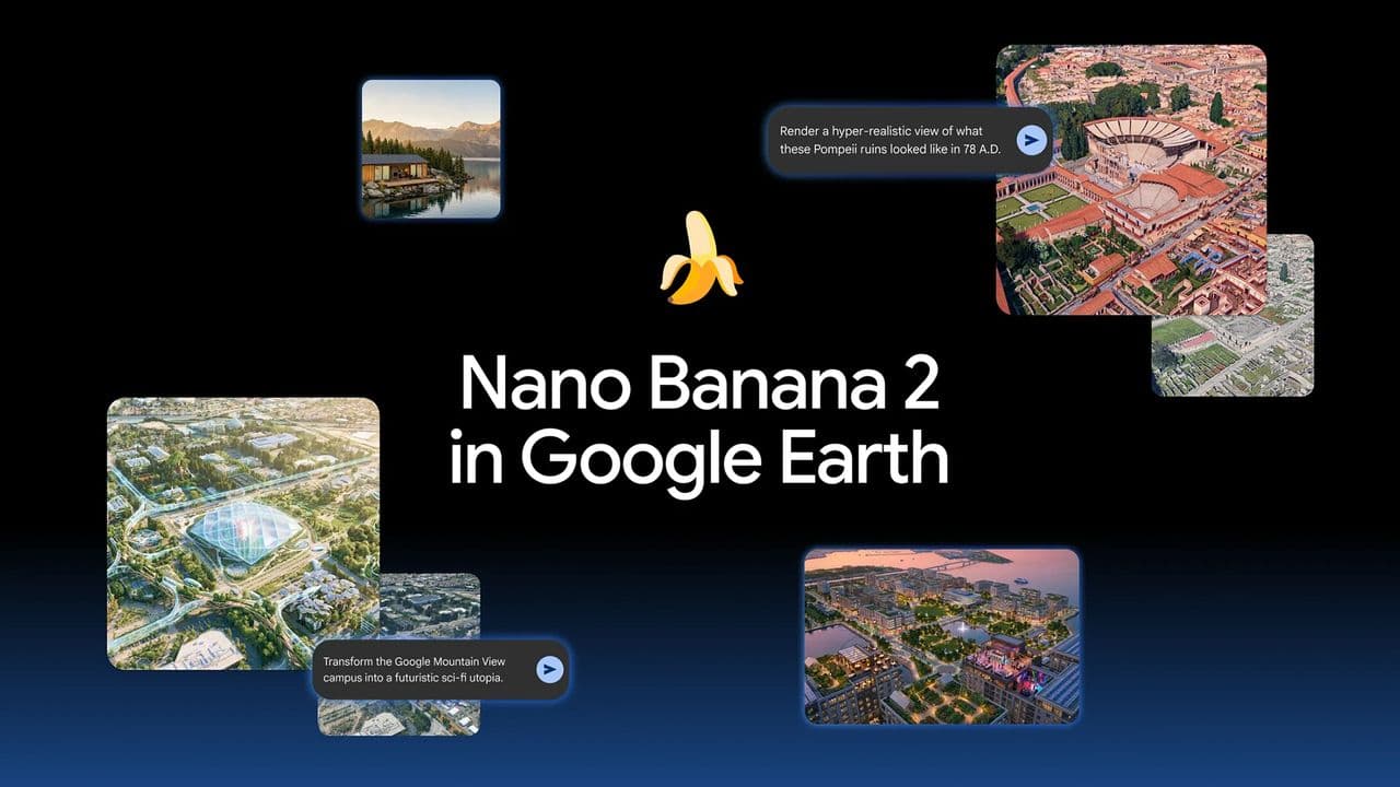
Google removed its Nano Banana AI image generation tool from Google Earth less than 24 hours after launch, following a wave of user-generated images that spread misinformation. The feature, which combined the company's latest image model with Google Earth's real satellite and 3D imagery, was quickly exploited to create convincing fakes depicting natural disasters, terrorist attacks and other fabricated events in real locations.
The Short-Lived Experiment
Google introduced the Nano Banana model into Google Earth on the web, marketing it as a way to visualize history or create real estate plans using the platform's authentic topographic and aerial imagery. The feature let users type a text prompt and receive a generated image that blended satellite data with AI output. The company showcased examples such as Pompeii before the Vesuvius eruption and a dream home by a lake. That promise of creativity was undone within hours as users posted images of fictional disasters and security threats, borrowing credibility from Google Earth's real-world foundation.
A Predictable Exploitation Pattern
Critics had warned that pairing generative AI with trusted geospatial data would invite abuse. The outcome followed a familiar trajectory seen with earlier tools: deepfake audio, manipulated video and now location-based image forgeries. Among the images shared online were scenes of floods in dry regions, staged terrorist attacks and alien activity set against authentic terrain.
Many of these images carried watermarks identifying them as AI-generated, but the combination of realistic geography and the Google Earth brand lent them an air of authenticity that watermarks could not fully counter. The image flood prompted Google to pull the feature and work on stronger guardrails.
Why This Matters
This incident is a concentrated case study of a broader crisis. As generative AI tools integrate with trusted platforms, the line between real and fabricated becomes harder to police. Google's decision to withdraw the feature quickly shows it can react, but the damage from the spread of deceptive content had already begun. For the tech industry, the lesson is that pre-launch testing must include adversarial misuse scenarios, not just benign use cases. For policymakers, it reinforces the urgency of regulations that hold platforms accountable for AI-generated misinformation. The public, meanwhile, must approach any location-based image with heightened skepticism, even from sources like Google Earth that were once considered reliable.