Senior Editor: Alan Agbele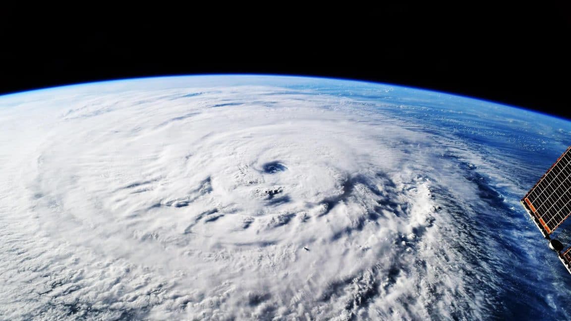
In October 2025, a storm developing over the Caribbean Sea forced meteorologists to confront a familiar dilemma: models disagreed on its path and intensity. One model, however, stood apart. Google DeepMind's WeatherNext AI predicted with 80 percent confidence that the system would strengthen into Hurricane Melissa and strike Jamaica as a Category 5 hurricane. The forecast came five days before landfall, offering communities precious additional time to prepare for the devastating storm that followed.
How WeatherNext AI Changes the Forecast Timeline
Traditional weather models rely on solving complex equations that describe atmospheric physics, a computationally demanding process that often limits how far ahead forecasts can be trusted. WeatherNext AI, by contrast, learns directly from decades of historical Weather data using deep neural networks. In the case of Hurricane Melissa, the model identified subtle patterns that pointed to rapid intensification and a direct course toward Jamaica, while other models remained uncertain. According to researchers, the AI's probabilistic framework gave forecasters enough confidence to issue warnings earlier than standard protocols would have allowed.
Real-World Impact During Hurricane Melissa
The storm brought catastrophic flooding and landslides across Jamaica, causing widespread damage. Yet the early warning from WeatherNext AI enabled emergency managers to mobilize resources and evacuations before the hurricane reached full strength. The extra day of preparation likely reduced the human toll. This success marks a shift in how artificial intelligence can complement existing forecasting tools, particularly for rare but extreme events where lead time is critical. The National Hurricane Center integrated the AI's outputs into its operational briefings during the storm, a first for a machine learning model of this kind.
Why This Matters
For communities in hurricane-prone regions, every hour of additional warning translates into lives saved and property protected. WeatherNext AI's performance suggests that machine learning can systematically shorten the gap between a storm's formation and a reliable forecast. This matters not only for the Caribbean but for any region facing intensifying cyclones linked to climate change. Governments and disaster agencies can now begin to adopt AI-driven models as operational tools, potentially reshaping global early-warning standards. The technology, however, is not a replacement for existing methods. It works best when combined with physics-based models, providing a second opinion that can flag missed scenarios. As extreme weather events become more common, the ability to extract an extra day of lead time from data may prove one of the most practical uses of artificial intelligence in public safety.
The Road Ahead for AI Weather Forecasting
The Nature paper validates WeatherNext AI as peer-reviewed science, not just a product demo. Researchers from Google DeepMind and Google Research made the model's code and training data available to the meteorological community, encouraging independent verification. Early adopters have already reported similar gains in predicting typhoons in the Pacific and winter storms in the Atlantic. The challenge now is integrating these tools into official forecasting workflows worldwide, a process that requires training, infrastructure and trust. If WeatherNext AI's early promise holds, forecasters may soon look back at the era of two-day warnings the same way they view the days before satellite imagery: as a time when they simply could not see far enough ahead.